An Historical Gazetteer of Western Australia by Geoffrey Higham –
second edition published 2006.
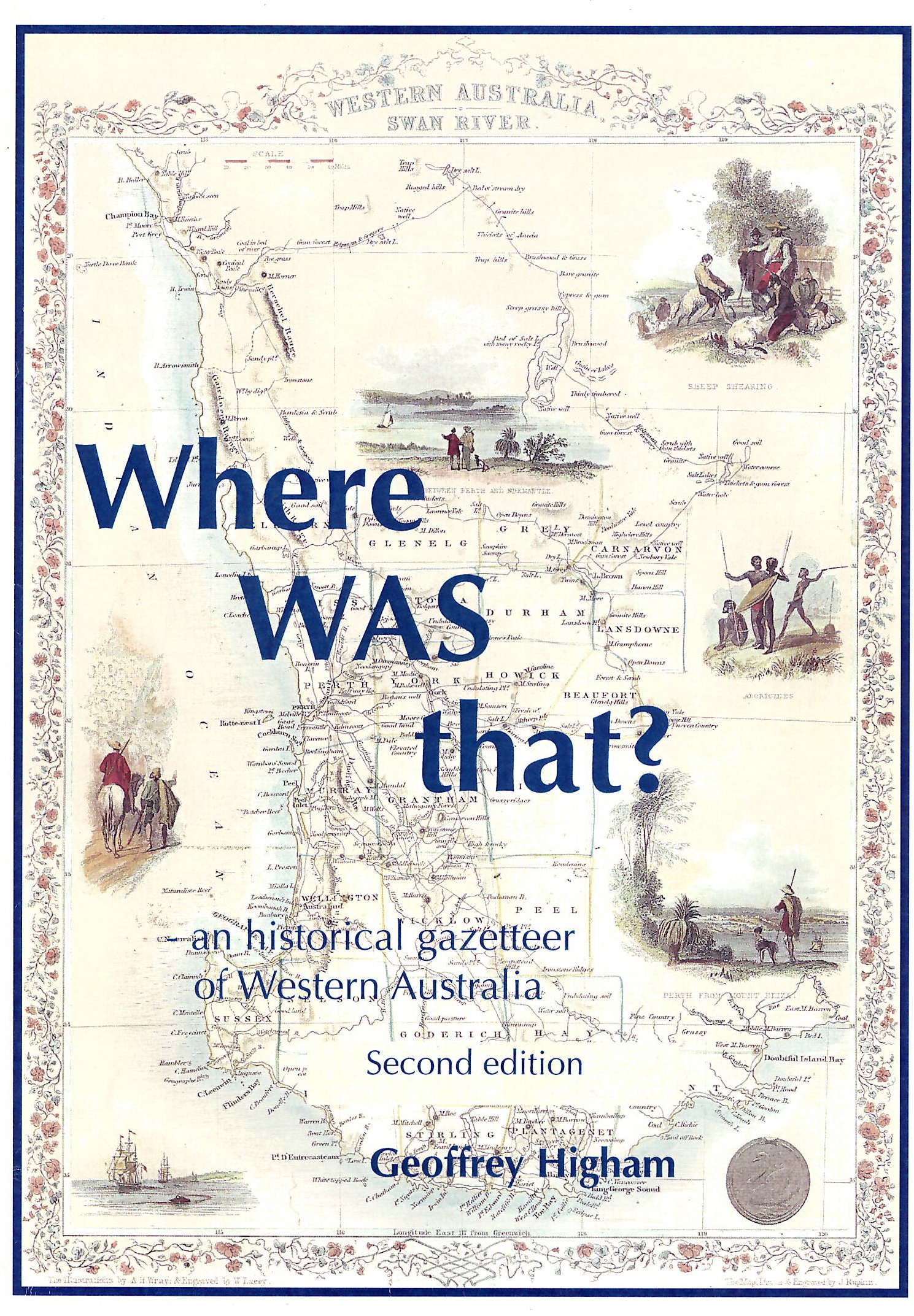
Where Was That by Geoffrey Higham
This is an excellent book for those researching or reading old family documents or just interested in the development of Western Australia.
The gazetteer lists place names of Western Australia in the following Categories:
- Places which have been renamed, sometimes more than once.
- Names of features which have been destroyed, abandoned or closed such as schools and railway stations.
- GPS Coordinates are supplied wherever possible.
- Plus a ‘Names Lost’ map of WA.
- More than 3900 entries.
- Lists the exact location of all the Group Settlement in the SW.
The following are some samples of entries:
The 25 Mile – Mining Centre – 30° 40.9′ 121° 04.1′ – Established in 1895. Name derived as the distance from Kalgoorlie. Replace by KUNANALLING (a townsite) in 1896.
Convent of Mercy School (Coolgardie) – 30° 57.1′ 121° 09.7′ – Established in 1898 in Lindsay Street Coolgardie. Renamed St Anthony’s Convent School in 1903. Building remains, but with alternative use.
DOODOOGOOGING Rocks – Rock Formation near Coolgardie – 30° 48.1′ 120° 29.6′ – Renamed Wallaroo Rocks
FEYSVILLE – Mining Centre and Townsite – 30° 57.5′ 121° 35.8′ – Established in 1898, named after Henry Fey (prospector 1895). Abandoned by 1949.
GATHERER School -31° 23.6′ 119° 24.4′ – Established in 1929, Cnr of Ghooli DSouth Rd and Southern Cross Marvel Loch Rd – Closed in 1949.
HARRIS -Townsite – 27º 58.7′ 120° 33.8′ – Names c1903, Name replace by VIVIEN in 1906.
I’O’U. – Mining Centre and Townsite – 30° 44.9′ 121° 47.7′ – Established by 1893, Name derived by worthless promissory notes given by miners to camel drivers to bring supplies. Replaced by BULONG townsite in 1895.
KNUTSFORD – Townsite – 30° 53.2′ 119° 01.1′ – Named in 1889, replaced by COLREAVY in 1912 (in the Yilgarn).
MACE’S FIND – Townsite – 30° 2.8′ 120° 38.9′ – Named in 1900, old name for DAVYHURST.
PADDINGTON – Townsite – 30° 29.2′ 121° 20.4′ – Named in 1897, renamed to GUDARRA in 1912. The area is now again known as Paddington.
WAVERLEY- Townsite – 30° 14.6′ 120° 57.3′ – Named in 1898 after a local Gold Mine. Renamed to Siberia in 1914.
WOOLGAR SCHOOL – 29° 44.8′ 121° 03.4′ – Established in 1900 in Wells Street, Yundaga, renamed to YUNDAGA in 1917.
I have a copy of this book and am happy to look up any names if you email me at – research@outbackfamilyhistory.com.au
Moya Sharp
Latest posts by Moya Sharp (see all)
- A Voice for Women and Children: The Story of Bessie Jordan - 13/06/2026
- The Importance of Being Gordon - 13/06/2026
- A Bolt from the Blue: The Astonishing Experience of William Smith - 13/06/2026
Leave a Reply